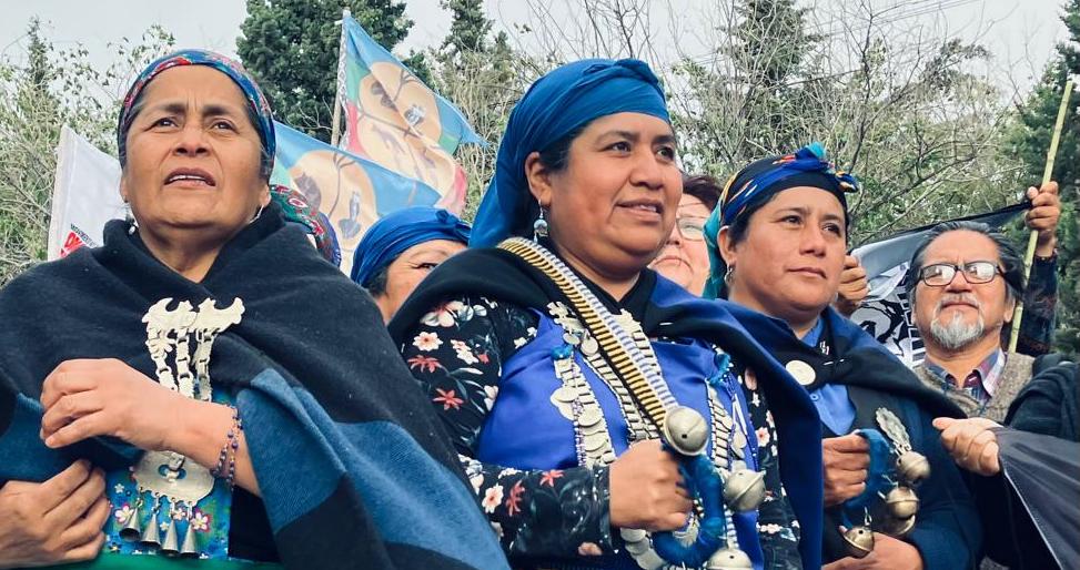
Futa Mawiza Biocultural Territory
In the Andean Cordillera, in the Futa Mawiza biocultural territory, an alliance of organizations dedicates its work to safeguarding the governance of ...
Promoting Indigenous Peoples’ rights
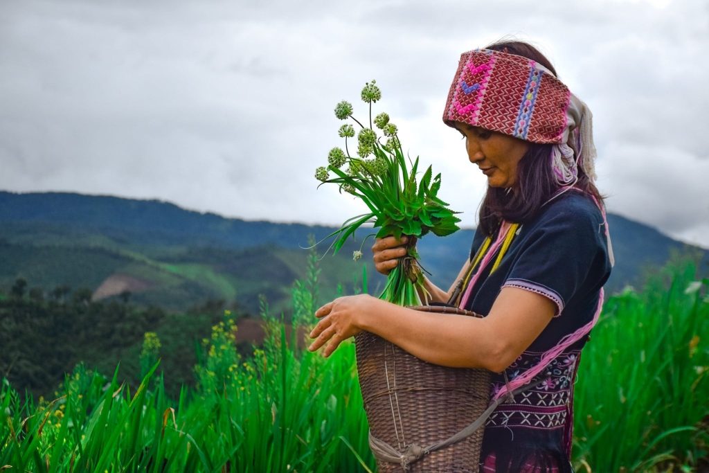
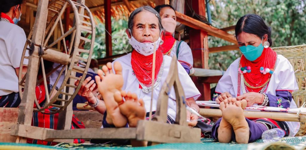
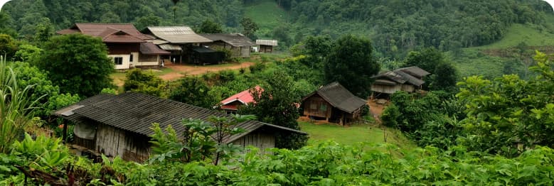
The Thai consortium of organizations convened by the Indigenous Peoples’ Foundation for Education and Environment (IPF) works to promote Indigenous Peoples’ rights, including education, self-determined development, customary land use, and natural resource management.
Under this initiative ICI aims to improve the management of 60,759 hectares in Thailand, engaging 24,696 direct project stakeholders.
Prepare land-use maps based on traditional customs/knowledge Support good practices in resource, water, forest and fire management, as well as food security Institute local regulations and governances Declare special ethnic cultural zones
Conduct dialogues to strengthen collaboration and cooperation among the involved parties Propose laws and policies, especially in promoting Indigenous lifestyles through participation in the name of Network of Indigenous Peoples in Thailand (NIPT)
Conduct research on the management of fires and forest fires for biodiversity conservation by communities based on traditional knowledge and innovation
Conduct study on the effects of global warming and ways and plans of adaptation to it at the community level
Promote sustainable and appropriate occupations that conform to local ecologies, e.g. bee keeping, eco-tourism, handicrafts and animal raising
Promote recovering of forest to enrich biodiversity, food and NTFPs in cultural landscape
Promote sustainable occupations in dynamic and innovative ways e.g. rotational farming, agro-forestry etc. for community food security and food sovereignty
Develop curricula for transmission of knowledge in the community and school, e.g. study of nature
Promote learning and its transmission (study of nature, children and youth camps, food security festivals, etc.)
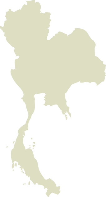
Thailand
139,743
24,696
Global Biodiversity Hotspots and High Biodiversity Wilderness Areas:
Indo-Burma
Key Biodiversity Areas:
Khao Banthad; Ton Nga Chang; Huai Nam Dang; Mae Lao – Mae Sae; Doi Chiang Dao; Doi Inthanon; Doi Suthep-Pui; Mae Fang
Important Bird Areas:
Khao Banthad; Mae Lao – Mae Sae; Doi Chiang Dao; Doi Inthanon; Doi Suthep-Pui; Mae Fang
Protected Areas/Wildlife Management Areas/etc.:
Ob Luang National Park; Mae Ngao National Park; Oob Khan National Park; Huay Nam Dang National Park; Mae Lao-Mae Sae Wildlife Sanctuary; Ton Nga Chang Wildlife Sanctuary; Banthat Mountain Wildlife Sanctuary
Community forests:
Ban Mae Aoe; Ban Ja Bu See; Ban Ar Bae; Ban Pong Khom; Ban Pang Sa; Ban Pong Pa Kaem
<1%
1
The total landmass of Thailand is 51.12 million hectares, including 25 principal watersheds and 16.35 million hectares of rainforest, which amounts to 31.86% of the country’s area. The area of the subproject includes two main landscapes in Northern Thailand and Southern Thailand. It covers 5 principal watersheds, 21 sub-watersheds, and 2 broad regions, north and south. The total project area is 429,667 hectares. These areas have significant importance with respect to biodiversity, reduction of greenhouse gas emission, and are rich in natural resources needed by the Indigenous groups for their sustenance and livelihood. The geographical areas included in this project have a relatively healthy forest. In some places, the forests are 70% healthy with regard to forest cover and wildlife diversity, such as upper Khun Tae, Mae Pae, Mae Yod, Mae Lai, Huay Mae Lid and Mae Lan Kham watersheds. Studies and surveys of biodiversity by IMPECT over 320 hectares during 2016 to 2019 in Mae Tae village show that the conservation area remains biologically healthy. It also showed the appearance of the rare Rafflesia plant and more than 27 types of vines among 60 varieties of plants, and the tracks of 25 forest animal breeds. The Pgakeunyaw Association for Sustainable Development [PASD] found more than 111 species in Mae Yod community.
The subproject area encompasses 77 communities of 7 ethnic groups in Thailand, namely, Karen, Hmong, Lisu, Lahu, Iu Mien, Akha, and Mani. Thailand’s legal framework allows for some recognition of IPLC use of lands (community title) and forests (community forests). According to Landmark, there is no data on the total area claimed by IPLCs. Many protected areas have been established despite the presence of IPLCs within such areas. Indigenous peoples have not been recognized for many years in Thailand, they have been considered as “wards of the king,” not as full citizens. This is slowly changing, for example with the government supporting cultural activities during International Day of Indigenous Peoples. People rely on forests as an important resource base for community food production, for example, the collection of forest mushrooms, gardens and orchards, and wet and dry rice cultivation, provides food and income to inhabitants. However, rotational agriculture practices used by IPLCs have been used as a reason to evict them from their territories, claiming that these practices destroy forests and contribute to climate change. In the south, the 12 Mani communities are hunter-gatherers and their culture and lifestyle differs from other ethnic groups. The Mani communities do not accumulate food for future consumption and, thus, they are more mobile and use wider areas in comparison to the agriculture-based communities.
In the Andean Cordillera, in the Futa Mawiza biocultural territory, an alliance of organizations dedicates its work to safeguarding the governance of ...
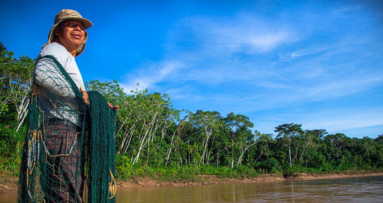
In the Madre de Dios River basin in Peru, an ancestral tropical forest territory home to several Indigenous communities, the Native Federation of Madr...
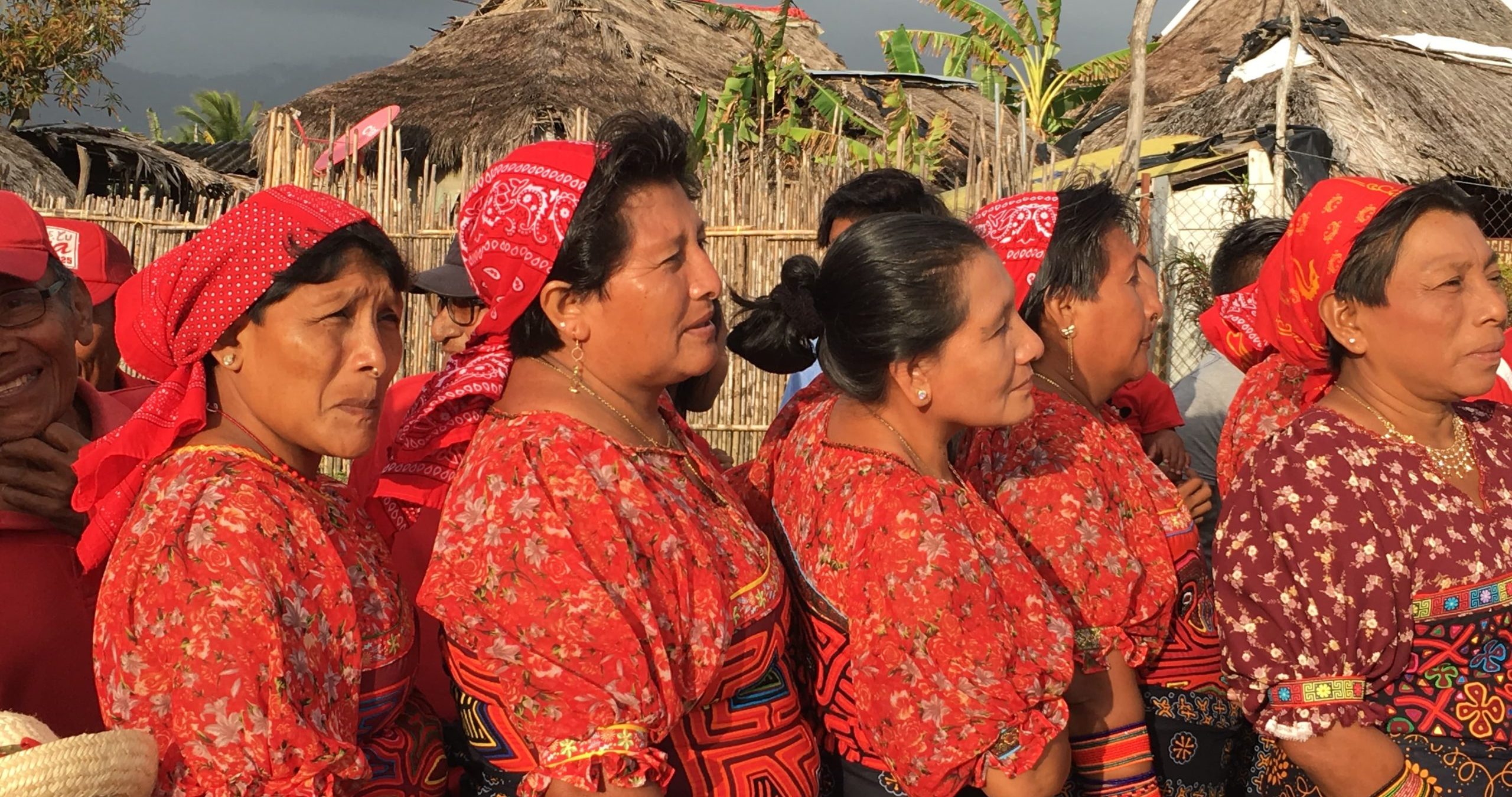
In Guatemala and Panama, a consortium of Indigenous organizations led by Sotz’il is working to foster the Indigenous use, management, and conservati...