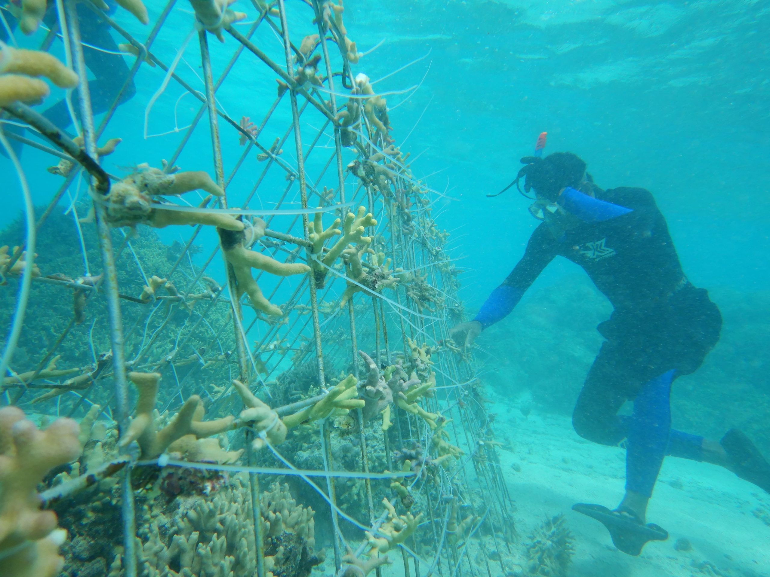
Fiji Lau Seascape and Cook Islands
The Bose Vanua o Lau in Fiji and the House of Ariki in the Cook Islands work together through ICI to advance Indigenous Peoples’ goals for sustain...
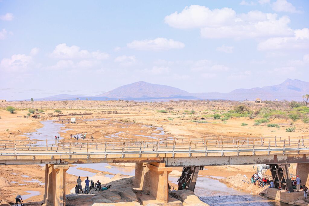
Supporting Indigenous movements in Northern Kenya
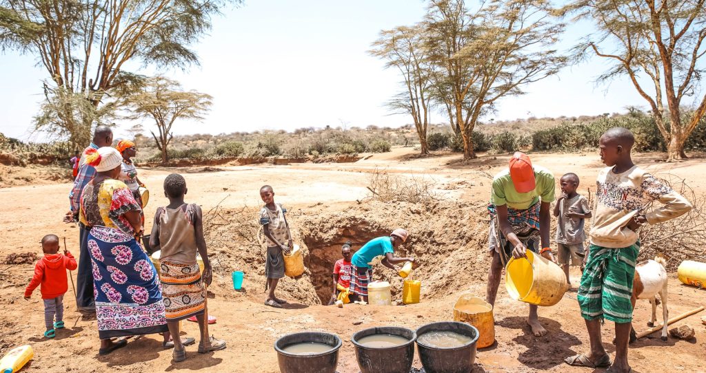
In Kenya, IMPACT will work with Indigenous communities to document and seek recognition for the Upper Ewaso Territory River Basin – an area that supports more than 3.5 million people across ten counties, whose majority are Indigenous pastoralists communities – as a Territory of Life (also known as an ICCA), which is a territory or area conserved by Indigenous Peoples and Local Communities (IPs and LCs). By doing so, IMPACT aims to restore, preserve and promote traditional governance systems as well as Indigenous knowledge and practices, secure Indigenous rights to land and natural resources, restore sacred sites and totems, and preserve Indigenous languages.
Under this initiative, ICI aims to create or improve the management of 783,000 hectares of protected areas, improve practices in 87,548 hectares, improve the management of a total area of 1,660,548 hectares, and engage 25,000 direct beneficiaries.
Create biocultural maps of the Ewaso Ng’iro River Basin
Generate data evidencing pastoralists’ presence in the area and contribution to biodiversity conservation across time
Conduct modeling of the proposed ICCA
Convene a Council of Elders to facilitate intergenerational and gender-balanced dialogue about future plans for the ICCA
Support communities in attaining legal recognition for their community land and in registering community conservancies if so desired
Work with a Council of Elders from across the Ewaso Ng’iro River Basin to develop Biocultural Community Protocols (BCPs) to set out rights and responsibilities under customary, state, and international law as the basis for engaging with external actors such as governments, companies, academics, and NGOs
With widespread participation and input, develop a plan that outlines pastoralists communities’ aspirations for the management and governance of land and resources in the Ewaso Ng’iro River Basin. The management plan will include measurable objectives demonstrating how the ICCA will address key threats and achieve biodiversity conservation, cultural integrity and community benefits
Train and support communities in monitoring the presence of biodiversity, environmental changes that can be observed over time and social and economic development indicators. Mobile phones will be used to promote “citizen science” as a method of monitoring and evaluating progress
Create a Knowledge Centre (physical building with a digital presence) to ensure the flow of knowledge from one generation to another and share knowledge about the ICCA with other stakeholders, including conservation stakeholders who wish to learn about pastoralists’ contribution to conservation
Kenya
3,468,488
170,500
Global Biodiversity Hotspots and High Biodiversity Wilderness Areas:
Eastern Afromontane
Key Biodiversity Areas:
Mount Kenya; Aberdare Mountains
Important Bird Areas:
Mount Kenya; Aberdare Mountains
World Heritage Sites:
Mount Kenya World Heritage Site
Protected Areas/ Wildlife Management Areas/etc.:
Protected Areas: Mount Kenya National Park; Ngare Ndare Forest Reserve; Shaba National Reserve; Samburu National Reserve; Buffalo Springs National Reserve
Community Conservancies: Naibunga Lower; Naibunga Central; Naibunga Upper; Kirimon; Nkoteiyia;Nannapa; Narupa; Naapu; Nanapisho; Meibae; Westgate; Nasuulu; Lekurruki; Il Ng’wesi; Ngare Ndare Forest Trust; Leparua; Kalama; Nakuprat-Gotu; Sera; Nalowuon; Ngilai; Kalepo; Melako
Wildlife Sanctuaries: Sera Rhino Sanctuary; Reteti Elephant Sanctuary
Important livestock areas and/or areas of cultural significance: Kirisia Hills; Lake Kisima; Lake Olbolosat; 6
CI-IUCN GEF Project Agency – Project Document (ProDoc)
Lorian Swamp; Mount Ololokwe; Mukogodo Forest; Suguta Wetland; Marura Swamp
Biosphere Reserves:
Lewa Biosphere Reserve
6%
4
The Ewaso Ng’iro River Basin extends from the northwestern slopes of Mount Kenya across the Laikipia Plateau to the arid rangelands in the north and northeast. This area is globally significant as a cradle of biological and cultural diversity that has been collectively managed by pastoralist communities for centuries. The River Basin crosses seven political counties in Kenya, including Meru, Laikipia, Samburu, Isiolo, Wajir, Marsabit, and Garissa. It extends between longitudes 36° 30’ and 37° 45’ east and latitude 0° 15’ south and 1° 00 north and forms part of the larger Juba basin, which covers an area of 47,655km2 in Kenya, Ethiopia and Somalia. The Ewaso Ng’iro River Basin is characterized by several distinct ecological zones. The basin begins on the slopes of Mount Kenya, which are humid and forested. It then progresses towards the semiarid Laikipia Plateau and the arid northern rangelands. The basin consists of 92% dryland ecosystem. These drylands contain a variety of endemic animal, plant, and microbial species that have developed special strategies to cope with the low and sporadic rainfall and the extreme variability in temperatures that prevail in dryland ecosystems. The Ewaso Ng’iro River Basin contains significant levels of biodiversity. By some estimates, there are over 95 species of mammals, 550 species of birds, 85 species of amphibians and reptiles, 1,000 species of invertebrates and 700 species of plants in the area.31 The River Basin is a stronghold for several species of conservation interest. The slopes of Mount Kenya and Laikipia Plateau host 4 threatened bird species and 6 threatened mammal species, including the African elephant, black rhino, leopard, giant forest hog, bongo, and black-fronted duiker. Kenya’s rarer northern species can be found in the lowlands, including the oryx, gerenuk, reticulated giraffe, Somali ostrich and Grevy’s zebra. Both the Grevy’s zebra and reticulated giraffe are listed as endangered on the IUCN Red List.
The Bose Vanua o Lau in Fiji and the House of Ariki in the Cook Islands work together through ICI to advance Indigenous Peoples’ goals for sustain...
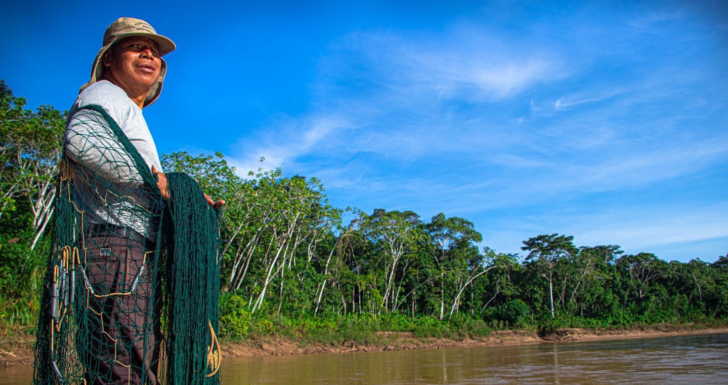
In the Madre de Dios River basin in Peru, an ancestral tropical forest territory home to several Indigenous communities, the Native Federation of Madr...
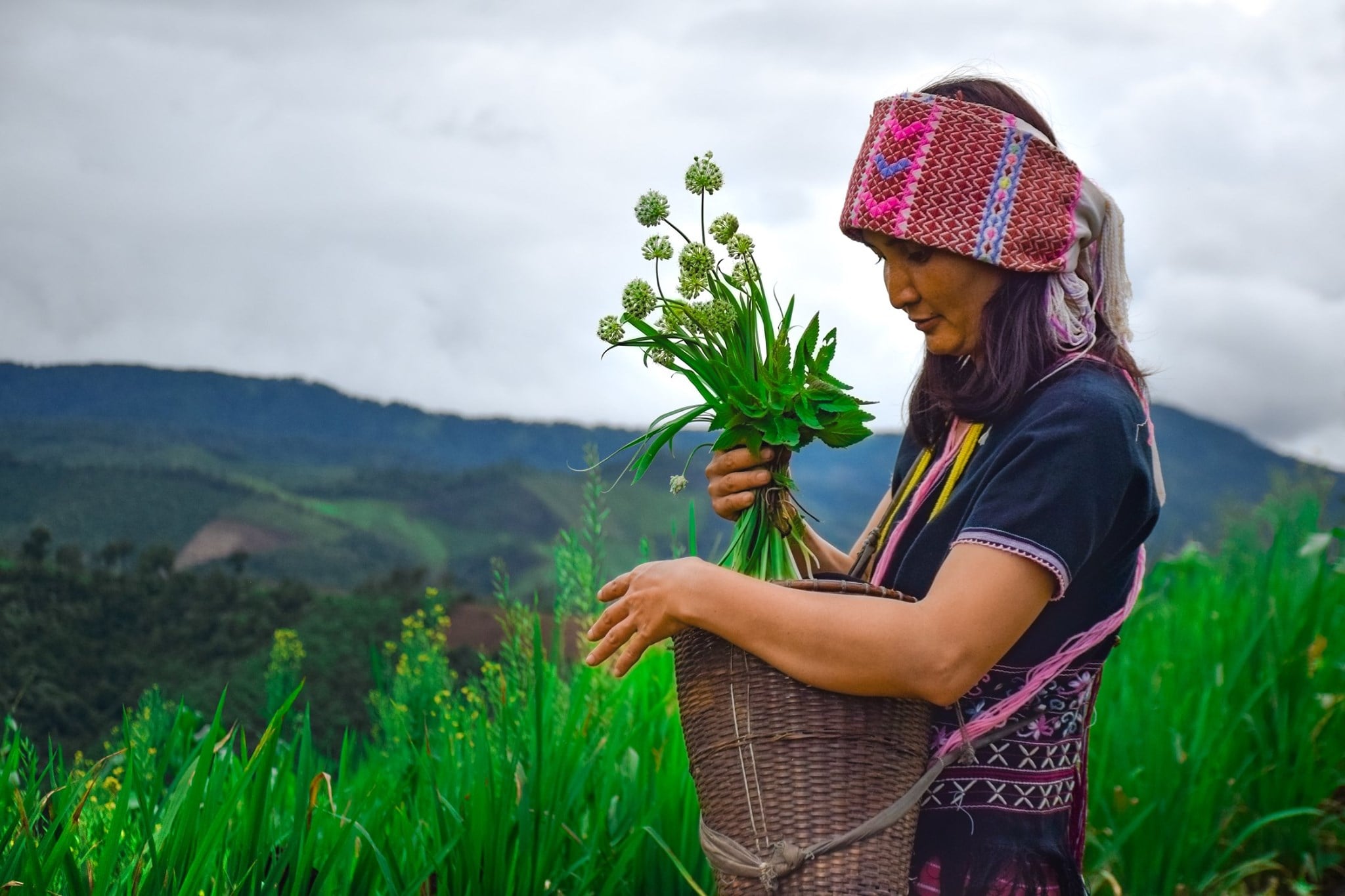
The Thai consortium of organizations convened by the Indigenous Peoples’ Foundation for Education and Environment (IPF) works to promote Indigenous ...